h2g2bob @h2g2bob@mastodon.dbatley.com
- Website
- https://dbatley.com
- Keywords
- searchable
Hello! I post something interesting every few days.
Joined Feb 2019
h2g2bob
boosted

“[…] I don't think honestly I could do it, in my own words, without this machine; I'm hooked on it, now.”
the Rhetorizer, as envisioned by Philip K. Dick in 1964
h2g2bob
boosted
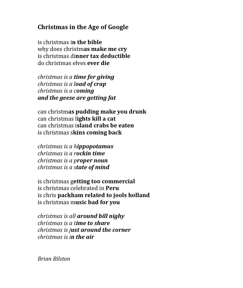
Today’s poem consists of popular searches on Google to do with Christmas. It’s called ‘Christmas in the Age of Google’.
London Liverpool St station gets more passengers than Birmingham New Street, Leeds, and Manchester Piccadilly stations added together https://diamondgeezer.blogspot.com/2023/12/anorak-corner-rail-edition.html #trains
h2g2bob
boosted

A deep dive into the GOV.UK cookie banner (more interesting than it sounds!)
https://nooshu.com/blog/2023/12/12/govuk-cookie-banner-browser-privacy-and-security/
h2g2bob
boosted

Sitting down or getting up from my Ikea chair seems to generate enough EMI to de-sync the HDMI monitor on the other end of the room.
Evidently, this is somewhat common: https://mastodon.social/@haeckerfelix/110272427676278609
h2g2bob
boosted
What was Carl Sagan like as a child? Pretty much exactly how you’d expect. https://blogs.loc.gov/loc/2023/12/carl-sagan/
h2g2bob
boosted
Just found this...
Does anyone remember these ? :)
I'd be interested in a drive if anyone can spare one. (I realise they are incredibly rare)
h2g2bob
boosted

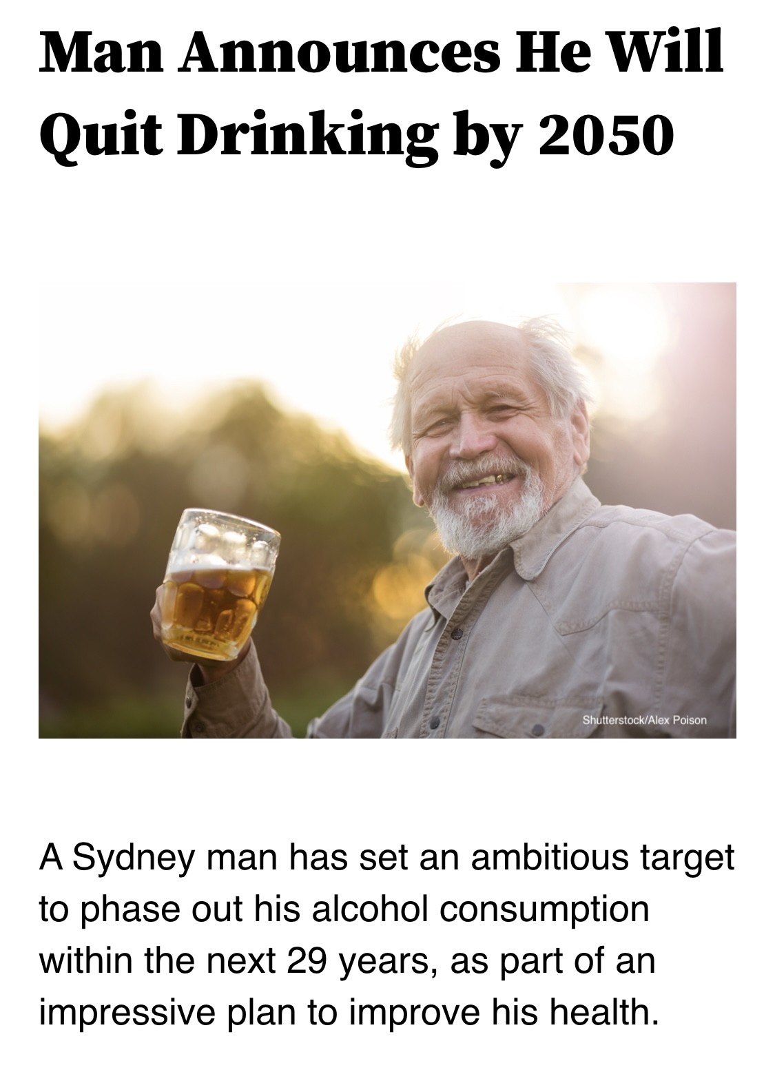
Man Announces He Will Quit Drinking by 2050.
A Sydney man has set an ambitious target to phase out his alcohol consumption within the next 29 years, as part of an impressive plan to improve his health.
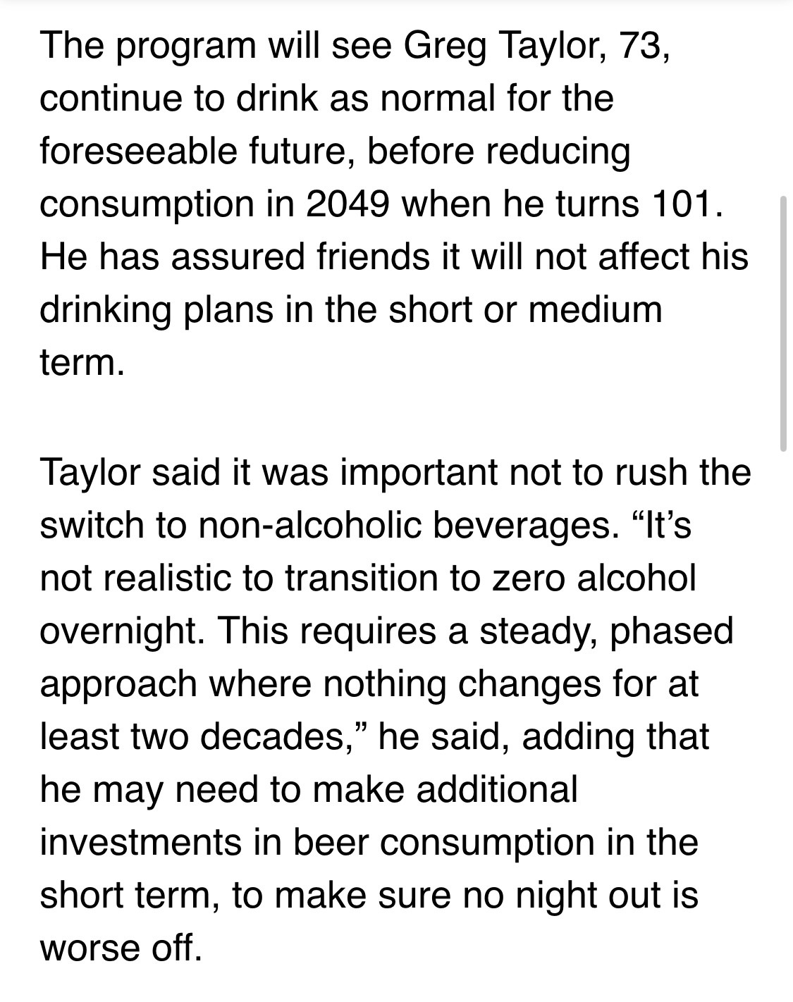
The program will see Greg Taylor, 73, continue to drink as normal for the foreseeable future, before reducing consumption in 2049 when he turns 101. He has assured friends it will not affect his drinking plans in the short or medium term.
Taylor said it was important not to rush the switch to non-alcoholic beverages. “It’s not realistic to transition to zero alcohol overnight. This requires a steady, phased approach where nothing changes for at least two decades,” he said, adding that he may need to make additional investments in beer consumption in the short term, to make sure no night out is worse off.
https://theshovel.com.au/2021/10/26/man-announces-he-will-quit-drinking-by-2050/
#GlobalWarming #Oil #BigOil #FossilFuel #Climate #ClimateChange #ClimateCrisis #Drinking #Problem
TIL a 100MW battery storage place got built this year, a few miles down the road from me. Good to see the grid being updated! https://stateraenergy.co.uk/projects/dollymans-storage #electricity
h2g2bob
boosted
From my favorite charity: Early findings from the world’s largest Universal Basic Income study
Basically, receiving one big sum is way more efficient to escape poverty than a monthly payment -- people can invest at once in equipment that will give them both immediate and long term returns, rather than just covering their immediate needs.
+ as expected, people know what is good for them and came up with a way to transform many tiny sums into a big one for investing.
Role-playing honour and shame
https://fabledlands.blogspot.com/2023/11/a-sense-of-shame.html
h2g2bob
boosted
Firefox has a new hidden setting auto-rejecting cookie banners (not just hiding them eg Brave). Piloting in 🇩🇪 in Private Browsing but anyone can enable:
Go to the URL about:config
Set cookiebanners.ui.desktop.enabled ->True
Go to Settings->Privacy, turn on Cookie Banner Blocker.
h2g2bob
boosted

Similar to our population calculator, we also make the Parkulator https://open-innovations.github.io/parkulator/ It is a tool which finds all the car parks (parking lots) within an area (from OpenStreetMap) then estimates alternative things you could do with that land such as build homes, build parks, or generate solar power.
h2g2bob
boosted

h2g2bob
boosted

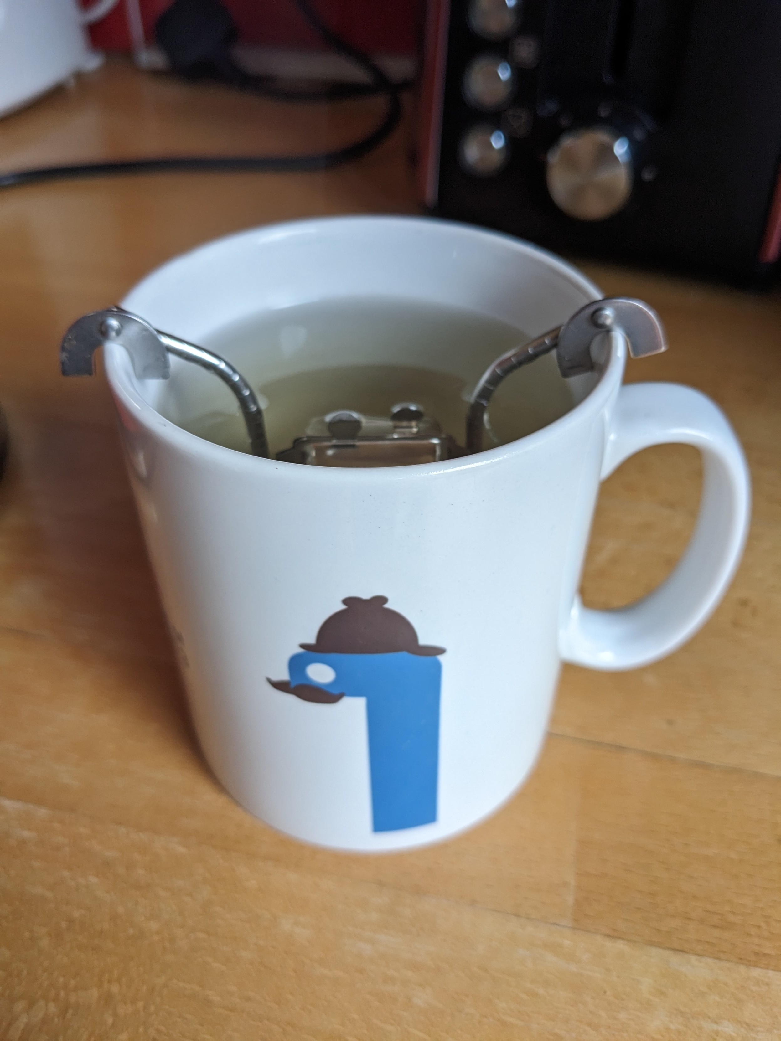
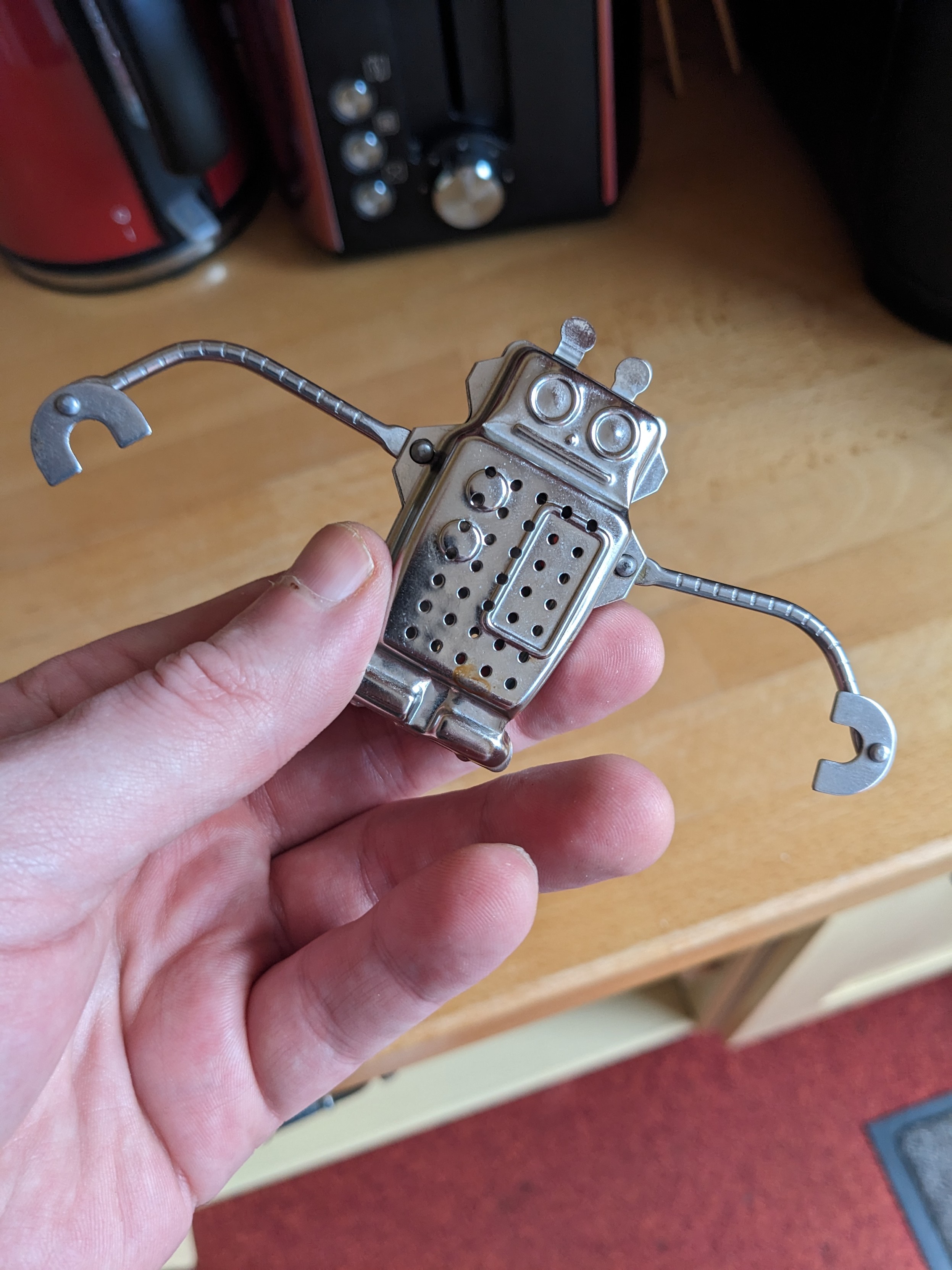
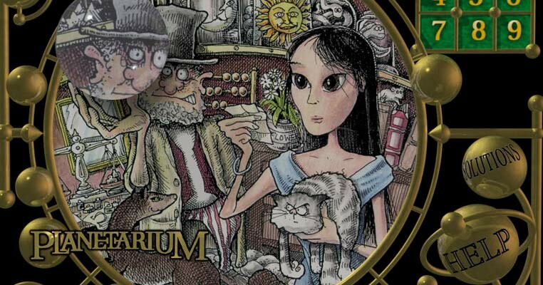
#introduction I've been running my Beholder website since 1995, with projects such as #Planetarium
https://www.beholder.uk/planetarium
Planetarium is an online story-puzzle in 12 weekly instalments, starting from the moment you log in. Registration is free and anonymous. You don't need to solve, or even attempt to solve, any of the puzzles to progress (although most people do, entering solutions as they go along).
Planetarium has been running since 9/9/99.
London Reconnections 2023 Christmas Quiz
https://www.londonreconnections.com/2023/london-reconnections-2023-christmas-quiz/
h2g2bob
boosted

Matt Gray is Trying: Pyrotechnics.
My new begis now, and I'm starting off with a bang!
h2g2bob
boosted
Amazing news out of the UK!
@owa has the details, but TL;DR: Apple's attempts to block iOS browser competition on hilariously thin grounds (essentially "you didn't regulate us soon enough!") just took a huge hit:
https://open-web-advocacy.org/blog/apple-loses-on-appeal/
Expect Apple to appeal the appeal because delay is their strategy any time regulators find that their rent-extracting, anti-competitive nonsense is...er, nonsense (browsers, right-to-repair, charging cables, etc.)
h2g2bob
boosted

You can now buy my South Up, Aotearoa Centred, Equal-Earth Projection Map
https://shkspr.mobi/blog/2023/12/you-can-now-buy-my-south-up-aotearoa-centred-equal-earth-projection-map/
I'm delighted to announce that I've actually finished a project!
Over the last few years, I've been designing a custom map. As per the credo of the "Organization of Cartographers for Social Equality", this map uses the Equal Earth projection to ensure proportional land-mass size, the South is at the up, and - of course - the globe has been rotated to 150°.
I've had it printed and I think it looks glorious!
Hanging on the wall
You can buy these maps from RedBubble.
Details
Buy
Buy the Country Name Map
Buy the Emoji Flag Map
This is a large poster - I recommend buying the 120cm by 60cm version. It needs to be that size in order to make the country names legible. The cost per poster depends on your locale and whatever promotions RedBubble are doing.
These are not limited editions! I will print off as many as people order. Each one comes with a small inscription in the corner saying what the map is, and some other metadata.
As per below, you can download the assets in vector or raster format if you'd like to try printing them yourself.
Disclaimer
Maps are contentious. Some countries don't recognise other countries. Some borders are disputed. Some people clamour for reunification, some for secession. Some countries have a name given to them by their colonial oppressors. Some have been renamed by mad tyrants. Some countries have multiple names in different languages. Some are still fighting bloody wars in order to be recognised. Flags also suffer from the same problem.
The good news is that this is not an official map - my choices have no geopolitical consequences. The even better news is that the code behind the map is open source - so you can redraw it to your heart's content.
I have used the borders from Natural Earth, the country names from OpenStreetMap, and flags from Twemoji. If you dislike any of those, please direct your complaints to them.
Bugs
There are a few of things which have left me slightly dissatisfied.
By convention, most maps use Shaded Relief with the light coming from North-West. However, because this map is flipped, it cause an optical illusion which make mountains look like ravines and vice-versa. As noted:
Viewing images that do not conform to this convention may show a form of convex–concave ambiguity.
Wikipedia page on "Top-Left" lighting
If you know how to redrawing or recalculate the shade, please let me know.
Secondly, in their default placement, country names and flags overlap. For example:
I manually adjusted the placement to keep labels and flags roughly in the right place without overlapping. I think I was accurate, but if you spot any mistakes - or know how to automate this - please let me know.
Non-Contiguous countries aren't handled well. For example, Alaska is unlabelled because it physically separated from the rest of the USA. The same is true of overseas territories like the Canary Islands and French Guiana.
The various seas, oceans, and other bodies of water aren't labelled.
I'm sure you will spot a few other errors. Either leave a comment here or raise an issue on GitHub.
How
This was a multi-stage process - mostly involving R.
Background
The background image comes from "Color terrain art without type halos". It's a TIFF which has been rotated and converted to PNG.
mogrify -rotate 180 Equal-Earth-Physical-Relief-No-Halos-150E.tif convert Equal-Earth-Physical-Relief-No-Halos-150E.tif EE-SU.png
Country Names
Natural Earth only provides country names in English ☹ - but it also provides 2 character ISO codes. So I grabbed the country codes and names from OpenStreetMap and merged them into the data set using R.
The Code
This produces the country borders and names onto an SVG.
Manual placement
I used Boxy to edit the SVG and place all names in roughly the right place.
Conversion
Inkscape was used to open the resultant SVG at 72dpi. I then used Gimp to autocrop, canvas expanded to 16000x9000, and saved as an uncompressed PNG.
The Emoji wouldn't import to either Gimp or Inkscape. So I viewed the file in Firefox and then printed it to a PDF. That PDF was cropped using pdfcrop` and then imported to Gimp.
Some print shops require CMYK colour spaces - convert Export.png -colorspace cmyk Print-CMYK.tif
Copyright
All of the Equal Earth data has this copyright:
The Equal Earth Physical Wall Map is in the public domain. You may use the map any way you like, including modifying the content, reproducing it on any type of media, republishing it, and selling it for profit. Consider the map as yours.
By downloading and using this map you agree that the map author (Tom Patterson) is not legally responsible for any errors that the map may contain. You are solely responsible for all problems that may arise from reuse of the map and its redistribution to third parties. Tom Patterson does not endorse the individuals or organizations that may use the map, nor does he endorse their positions on various issues.
It builds on Natural Earth, which is also public domain.
The Emoji flags are either CC BY or MIT - depending on whether you think SVGs are images or code.
In a similar spirit, the code that I've used to create my variation of the map, and the resultant output, is also hereby placed in the public domain. You may treat it as CC0.
South Up, Aotearoa Centred, Equal Earth Projection Map by Terence Eden is marked with CC0 1.0 Universal
Download
You can download all the code and assets from GitHub.
Buy
New train fares to #Southend on the c2c line, getting ready for contactless. Similar changes on SWR, Chiltern and London Northwestern too. But contactless doesn't actually work yet. https://diamondgeezer.blogspot.com/2023/11/preparing-rail-fares-for-contactless.html
- Website
- https://dbatley.com
- Keywords
- searchable
Hello! I post something interesting every few days.
Joined Feb 2019